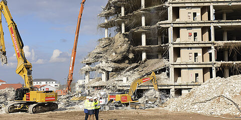
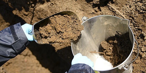
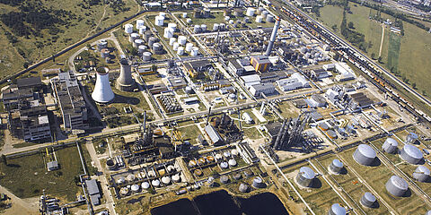
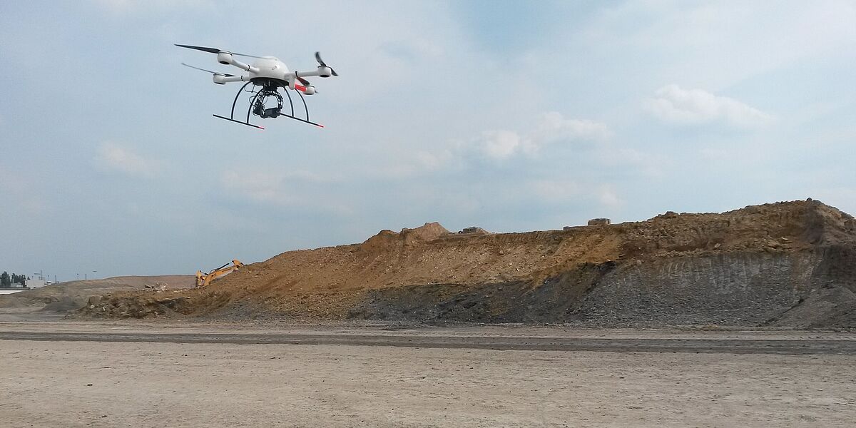
The Quadcopter MD4-1000 flies over the former site of OPEL Plant 1 in Bochum
The use of unmanned aerial vehicles has been growing steadily for years, both in industry and in various areas of science. In a joint project between WESSLING, the Institute for Landscape Ecology and the Institute for Geoinformatics of the Westfälische Wilhelms-Universität Münster (WWU), the use of a UAV was tested in a major land recycling project on the site of the former OPEL Plant 1 in Bochum.
The idea
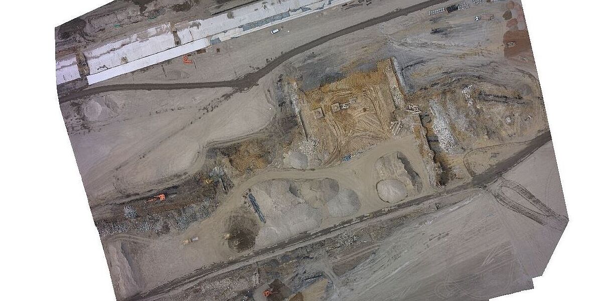
“WESSLING is regularly involved in land recycling projects to support various customers in soil management," explains Dr Alexander Bietmann from WESSLING. “The biggest challenge for us is that a construction site changes its appearance almost every hour: soil is being moved from A to B, excavation pits are dug, earth is disposed of and areas are cleared. All of this has a major impact on coordinating the various parties involved in land recycling. Therefore, the data we provide is the basis for a smooth construction process." The engineers at WESSLING asked themselves how the time-consuming and regular recording of soil volumes could be simplified.
Using a light, remote-controlled drone (quadcopter), aerial photographs were taken on a pre-defined route with an RGB compact camera. We used a quadcopter, a rotor-driven system that can take off and land vertically on a small area. A digital 3D model was created from the images, which can be used for (partially automated) volume calculations. Moreover, this procedure could facilitate the regular recording of construction sites, or also serve as a supplement to existing measuring methods.
Biggest challenge: data evaluation and development of a software solution
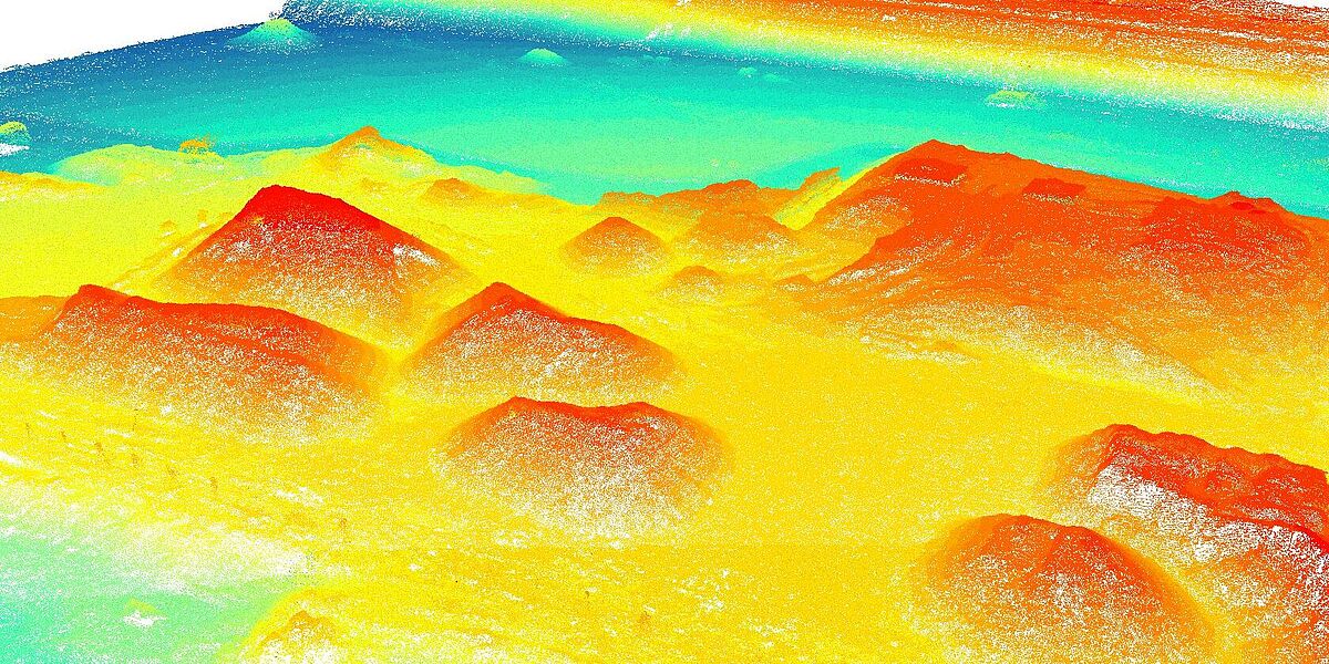
The greatest challenge lies not only in the use of the quadcopter or in flying over of the terrain during ongoing construction operations, sometimes under adverse conditions. It lies, above all, in the subsequent processing and analysis of the digital terrain information collected. Therefore, the evaluation of the data and the development of a semi-automatic software solution was a central part of the project.
The terrain photos taken overlapped by about 80 percent and thus covered the entire area in focus - in this case an "active" area of the construction site. Using special software, a 3D model in the form of a point cloud was calculated from the photos, containing height and position information for each point.
Calculation of volumes
The volumes were then calculated. The first task was to test the individual work steps for the calculation. These steps were then integrated into an independent tool. With this tool, the terrain data of various construction projects can now be processed and evaluated in a standardized procedure without having to carry out individual processing steps.
The calculation finally provided realistic values that in the next step can be compared with data from classic ground-based surveys. Previous projects in various scientific fields already showed that airborne photogrammetric measurements can provide more accurate results than existing measurement methods.
Advantages for project planning, customer presentation up to complex 3D calculations
In principle, the use of UAVs can make daily work - even on a large site for land recycling - more effective and provide a quick overview of various terrain areas or construction sections. The possibilities are manifold, from simple aerial photographs for project planning or customer presentation to complex 3D calculations. Some considerations should be taken in the safe operation of aircraft and appropriate training measures in advance, especially on large construction sites, in order not to endanger construction site operations and to ensure trouble-free participation in air traffic.
"This technology provides a huge number of future-oriented and innovative application areas," summarizes Dr Alexander Bietmann. "We at WESSLING are therefore very pleased about cooperating with the University of Münster and to research further application possibilities for UAVs together in the various fields of work of WESSLING GmbH.
